Cycling

The Land of Arlon also offers a number of waymarked cycle rides ranging from 10 to 65 km in the villages and the surrounding countryside.
Or you can explore the Gallor routes, following the path of the old Roman roads.
All our rides are available on Cirkwi or at reception.

Caution!
We don't have information on the difficulty of this circuit. You might encounter some surprises along the way. Before you set off, feel free to get more information and take all necessary precautions. Enjoy your walk! 🌳🥾

The Cuesta Route

Photo randobel
blur-effect

Description

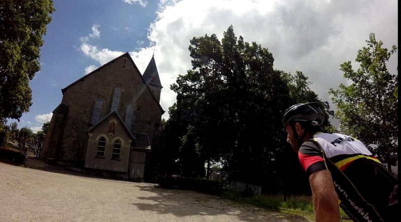
The Cuesta Route partly crosses landscapes overlooked by the first Lorraine ridge, known as the Sinemurian cuesta.

The landscape in the Attert valley is characterised by meadows and groves interlaced with small streams. These varied natural environments provide an ideal habitat for a wide range of flora and fauna. Each village has retained its authenticity and its harmony. Many old residences and agricultural buildings dating from the 18th and 19th centuries can still be admired here. The paths are dotted with crosses and calvaries in local stone. The fountains recall the many springs that run through the valley and the restored washhouses with their big stone tubs bear witness to village life in days gone by.

Start: Attert municipal authority building, (Voie de la Liberté 107 – 6717 Attert).

Waymarking: green bicycle on white background.

Further information

Signalétique (EN)

No signage

Export and share

Technical informations

Road bike
Difficulty
Medium
Duration
2h
Dist.
24 km
Show more information
Nearby tours
Select background map

IGN MAP

IGN MAP

AERIAL PHOTOS / IGN

AERIAL PHOTOS / IGN

MULTI-SCALE MAPS / IGN

MULTI-SCALE MAPS / IGN

TOP 25 IGN

TOP 25 IGN

SLOPE MAP (IGN PLAN)

SLOPE MAP (IGN PLAN)

CADASTRAL PARCELS

CADASTRAL PARCELS

ICAO AERONAUTICAL CHARTS

ICAO AERONAUTICAL CHARTS

MAP 1950 / IGN

MAP 1950 / IGN

MAP OF THE GENERAL STAFF (1820-1866)

MAP OF THE GENERAL STAFF (1820-1866)

COASTAL MAPS / SHOM/IGN

COASTAL MAPS / SHOM/IGN

SCAN EXPRESS STANDARD / IGN

SCAN EXPRESS STANDARD / IGN

CLASSIC EXPRESS SCAN / IGN

CLASSIC EXPRESS SCAN / IGN

OPEN STREET MAP

OPEN STREET MAP

GOOGLE MAP - SATELLITE

GOOGLE MAP - SATELLITE

GOOGLE MAP - MAP

GOOGLE MAP - MAP

GOOGLE MAP - HYBRID

GOOGLE MAP - HYBRID

IGN BELGIUM

IGN BELGIUM

Starting Point

Lat : 49.75189Lng : 5.78481
Coordinates copied

Author Information

Pays d'Arlon Author
AlertAlerts