Cycling

The Land of Arlon also offers a number of waymarked cycle rides ranging from 10 to 65 km in the villages and the surrounding countryside.
Or you can explore the Gallor routes, following the path of the old Roman roads.
All our rides are available on Cirkwi or at reception.

Caution!
We don't have information on the difficulty of this circuit. You might encounter some surprises along the way. Before you set off, feel free to get more information and take all necessary precautions. Enjoy your walk! 🌳🥾

Remarkable trees circuit

©
Arlon Tourisme
Chapelle Nothomb
blur-effect

Description

This 41-kilometre circuit will give you the chance to see 28 of the 60 remarkable trees listed in the Attert Valley Nature Park, as well as the 14 main villages in the commune of Attert.

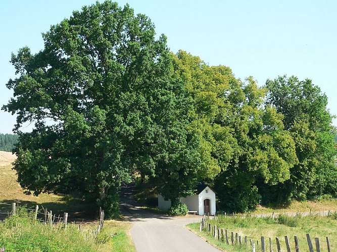
These trees, which are exceptional owing to their age, their size, their shape, their past or the legend that surrounds them, are known as Remarkable Trees. They represent a natural and cultural heritage that must be preserved. The Attert valley remarkable trees circuit aims to give you a chance to discover them. In 2015, it won the ‘Tourism & Innovation’ award presented by the Province of Luxembourg.


Start: Attert municipal authority building, (Voie de la Liberté 107 – 6717 Attert).

Waymarking: green tree on white background.

Further information

Signalétique (EN)

N2 (Cycle tourist) - Green

Export and share

Technical informations

Road bike
Difficulty
Not specified
Dist.
40 km
Show more information
Nearby tours
Select background map

IGN MAP

IGN MAP

AERIAL PHOTOS / IGN

AERIAL PHOTOS / IGN

MULTI-SCALE MAPS / IGN

MULTI-SCALE MAPS / IGN

TOP 25 IGN

TOP 25 IGN

SLOPE MAP (IGN PLAN)

SLOPE MAP (IGN PLAN)

CADASTRAL PARCELS

CADASTRAL PARCELS

ICAO AERONAUTICAL CHARTS

ICAO AERONAUTICAL CHARTS

MAP 1950 / IGN

MAP 1950 / IGN

MAP OF THE GENERAL STAFF (1820-1866)

MAP OF THE GENERAL STAFF (1820-1866)

COASTAL MAPS / SHOM/IGN

COASTAL MAPS / SHOM/IGN

SCAN EXPRESS STANDARD / IGN

SCAN EXPRESS STANDARD / IGN

CLASSIC EXPRESS SCAN / IGN

CLASSIC EXPRESS SCAN / IGN

OPEN STREET MAP

OPEN STREET MAP

GOOGLE MAP - SATELLITE

GOOGLE MAP - SATELLITE

GOOGLE MAP - MAP

GOOGLE MAP - MAP

GOOGLE MAP - HYBRID

GOOGLE MAP - HYBRID

IGN BELGIUM

IGN BELGIUM

Starting Point

Lat : 49.75168Lng : 5.78482
Coordinates copied

Author Information

Pays d'Arlon Author
AlertAlerts